Winter Tour and Trek Planning Tool
Abstract
Snow avalanches pose a serious hazard for winter sports enthusiasts. Proper planning and risk assessment is indispensable for a safe ski tour. With today’s technology a lot of information can be gathered about the terrain and avalanche situation. It seems to make sense to use digital aids to facilitate the planning of a safe tour. Several digital planning tools already exist today. But most of them, do not integrate all the necessary information into one application. Thus, the user has to combine several resources in order to assess the avalanche risk. Besides, the approach of 3D visualizations in this field is still in its infancy. This Bachelor thesis tries to exploit the possibility to integrate several factors necessary for winter tour and trek planning into a single interactive 3D tool. The implemented tool called TrekPlanningViewer was realized with the GlobeEngine framework developed by the Visualization and MultiMedia Lab (VMML) at the Universtiy of Zurich. It supports traditional and new forms of visualizations. After the implementation the prospective benefits of such a tool was evaluated in a controlled experiment. The thesis consists of an implementation, an evaluation and written part. The written part documents the process and findings.
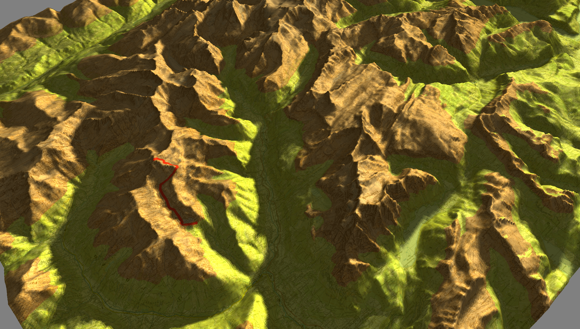
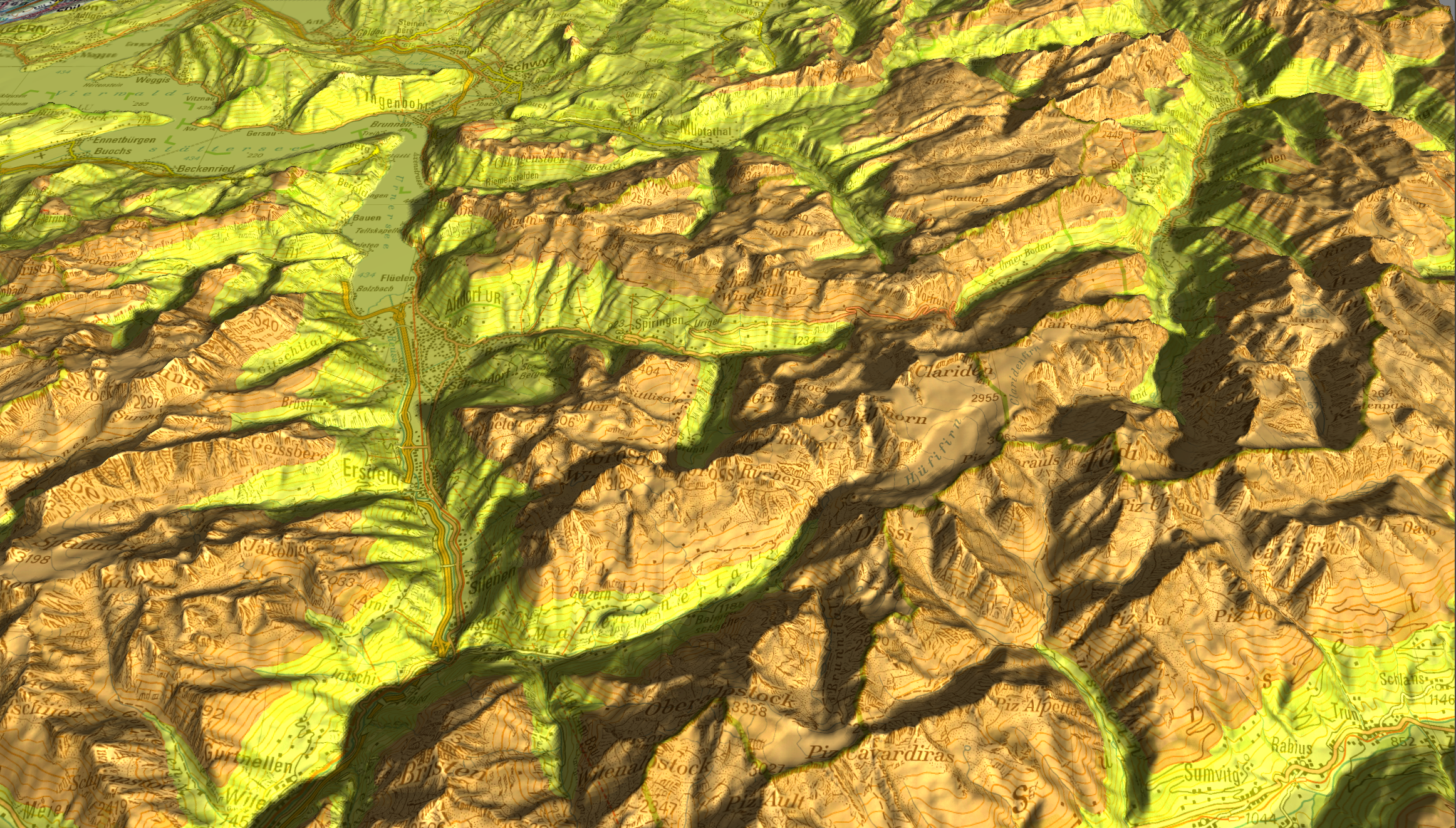
Impressions:
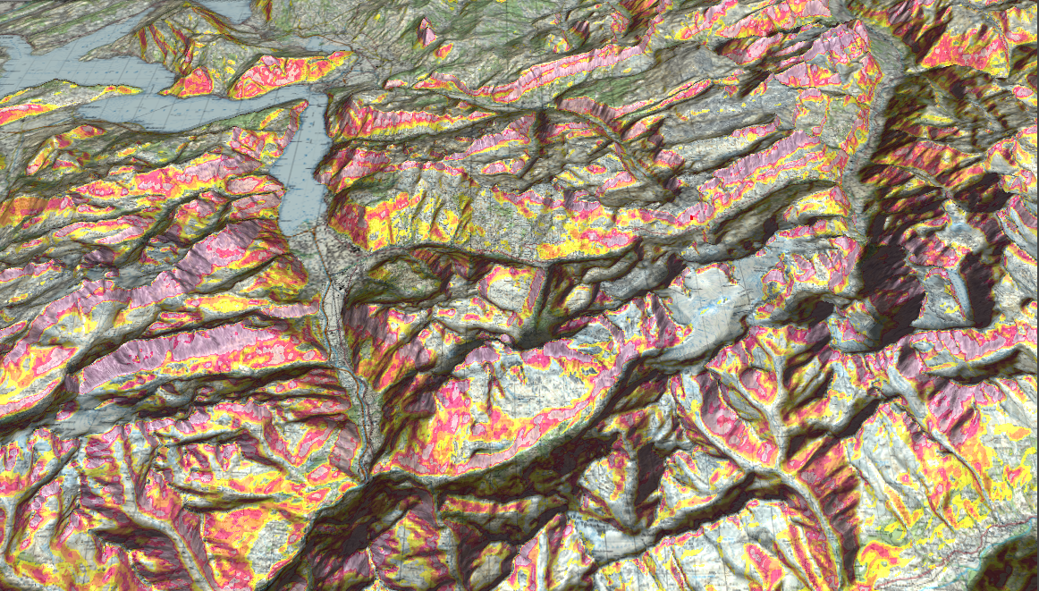
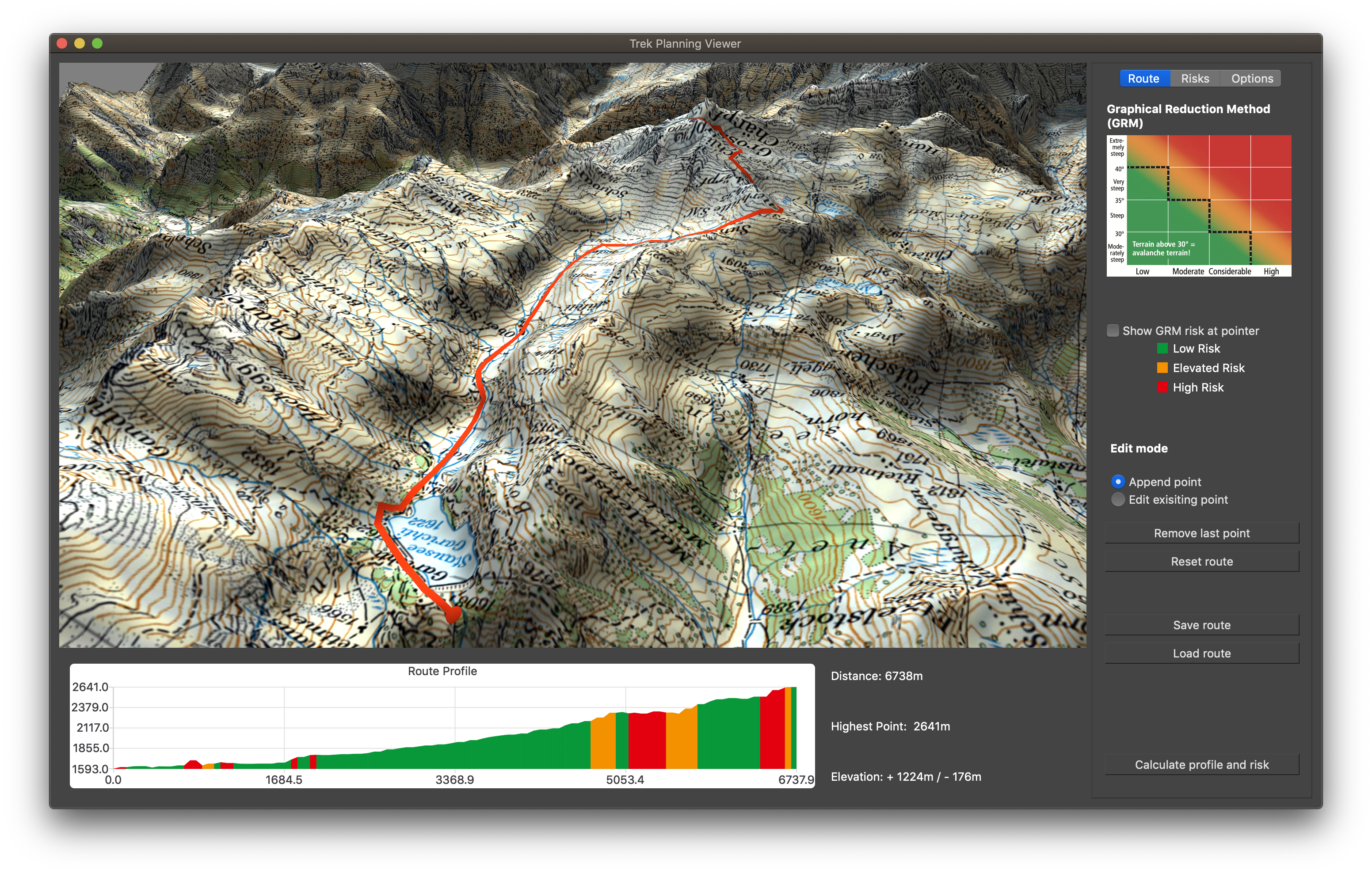
The avalanche bulletin visualization and also the route on top of the map are rendered as pixel-precise deferred vector maps [3]
- [1] SLF, The avalanche bulletin, https://www.slf.ch/en/avalanche-bulletin-and-snowsituation/about-the-avalanche-bulletin/the-avalanche-bulletin.html, accessed 2019-03-14.
- [2] W. Munter, 3 x 3 Lawinen: Risikomanagement im Wintersport. Pohl und Schellhammer, Ed. Vivalpin, 2003.
- [3] M. Thöny, M. Billeter, and R. Pajarola, “Large-scale pixel-precise deferred vector maps”, in Computer Graphics Forum, Wiley Online Library, vol. 37, 2018, pp. 338–349.